
Paul Waddell
2022 Urbanism Fall Lecture Series
Monday, 21-November 12:30 – 1:30 PM EST
Co-hosted by the City Design & Development Program (CDD), SMArchS Urbanism Program and Norman B. Leventhal Center for Advanced Urbanism at MIT.
The lecture, Fusing Human and Artificial Intelligence to Power Better Urban Design and Planning, will be hybrid; in-person in 9-255 or register for zoom link here.
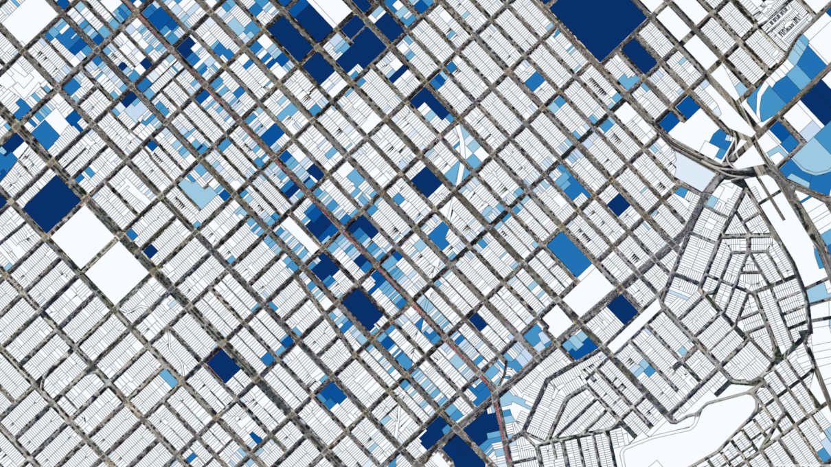
Paul Waddell teaches and conducts research on modeling and planning in the domains of land use, housing, economic geography, transportation, and the environment. He has led the development of the UrbanSim model of urban development and the Open Platform for Urban Simulation, now used by Metropolitan Planning Organizations and other local and regional agencies for operational planning purposes in a variety of U.S. metropolitan areas such as Detroit, Houston, Phoenix, Salt Lake City, San Francisco, and Seattle, as well as internationally in a growing list of cities in Europe, Asia, and Africa. His current research focuses on the assessment of the impacts of land use regulations and transportation investments on outcomes such as spatial patterns of real estate development and prices, travel behavior, emissions, and resource consumption. He is also working on ways to engage public participation in making complex policy choices, including the creation of interactive systems for scenario planning and 3D visualization. teaches and conducts research on modeling and planning in the domains of land use, housing, economic geography, transportation, and the environment. He has led the development of the UrbanSim model of urban development and the Open Platform for Urban Simulation, now used by Metropolitan Planning Organizations and other local and regional agencies for operational planning purposes in a variety of U.S. metropolitan areas such as Detroit, Houston, Phoenix, Salt Lake City, San Francisco, and Seattle, as well as internationally in a growing list of cities in Europe, Asia, and Africa. His current research focuses on the assessment of the impacts of land use regulations and transportation investments on outcomes such as spatial patterns of real estate development and prices, travel behavior, emissions, and resource consumption. He is also working on ways to engage public participation in making complex policy choices, including the creation of interactive systems for scenario planning and 3D visualization.