
Resilience Districts Boston
Today, the heavily urbanized coastal city of Boston and its many surrounding communities are experiencing a dramatic increase in the frequency and intensity of major rainfall events, compounded by steadily rising sea levels—both direct effects of climate change. Recent studies suggest that by the end of the century, these communities may see as much as six feet of sea level rise, directly affecting more than 90,000 homes (currently valued at over $60 billion) in the Greater Boston Area (GBA).[1] Furthermore, the risks associated with increased coastal flooding present disproportionate challenges for already under-resourced urban communities – especially those more reliant on public transit or other social services.[2]
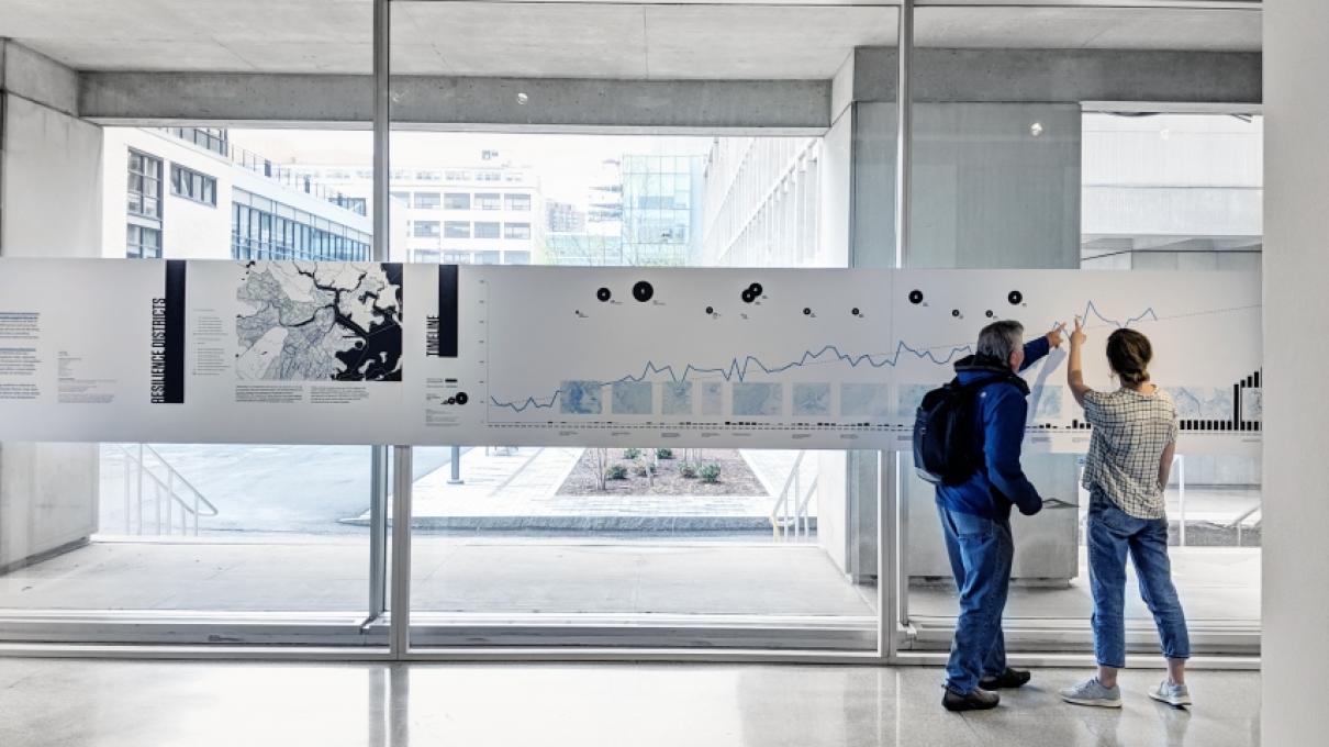
As the first in a series of planned events related to the LCAU triennial research theme “Equitable Resilience,” this exhibition brings together several layers of ongoing research and design engagement at MIT. Presented as a collection of historical documents, contemporary planning frameworks, and visionary urban design proposals, the exhibition highlights important relationships between long-term environmental risk management and equitable urban development for the Greater Boston Area (GBA). At the core of this work is a proposal for a regional districting strategy. Aimed at optimizing the spatial scales of resilience planning and design, the proposed “resilience districts” offer a theoretical framework for aggregating municipal resources, protecting critical infrastructure, and strengthening vulnerable communities.
The Resilience District idea was first initiated as part of the New Meadowlands project, one of the winning entries for New York’s Rebuild by Design competition, which followed the record destruction of Super Storm Sandy. The concept of the Resilience District is defined as “a performance-based set of planning and design strategies that capture agglomeration benefits, mitigate systemic risks, and address socioeconomic concerns of long-term climate adaptation in coastal cities.” The concept represents a departure from resilience projects that focus exclusively on the protection of vulnerable assets through architectural modification and/or defensive engineering. These projects tend to operate at scales that are insignificant in the context of climate change, and often fail to adequately address underlying issues of social inequity and exclusion, which are typically compounded by the challenges of urban climate adaptation. Today, the resilience district concept reflects a growing trend for urban planners, designers, and policy makers. This exhibition asks important questions about how to equitably deploy this type of strategy given the variegated challenges of environmental uncertainty in the GBA.
[1] Dahl et al., “Underwater: Rising Seas, Chronic Floods, and the Implications for US Coastal Real Estate.”
[2] Anguelovski et al., “Equity Impacts of Urban Land Use Planning for Climate Adaptation.”
Resilience districts
“Districting” is a pragmatic tool used by city planners in the US for centuries. Since its colonial origins, the Greater Boston Area has been shaped and reshaped by hundreds of district designations. The majority of these districts have been applied to organize land use, manage development, and allocate public resources based on predefined geographic boundaries. Today, climate change poses one of the biggest and most complex challenges for the region. Resilience Districts represent a new approach to urban adaptation that draws from Boston’s rich history of using districts, as well as its more recent efforts to plan for the increasing threat of coastal flooding.
Planning the districts
Within metropolitan regions, sea level rise cannot effectively be addressed by a single community alone. Resilience Districts are designed to aggregate neighborhoods from adjacent cities and towns based on shared exposure to flooding and mutual benefits of regional resilience strategies. Instead of following predefined municipal boundaries, Resilience Districts are determined by tracing the region’s primary hydrology. Coastlines, rivers, and wetlands are connected to form the outer boundaries of each district, which are then subdivided into three distinct zones. The Down Zone consists of the lowest lying, most flood-prone area within the district. The Up Zone consists of higher ground, where the direct effects of flooding are less present, but the indirect effects of infrastructure failure may be catastrophic. In the middle, the Transition Zone acts as a staging ground for additional emergency services to support vulnerable coastal communities and infrastructure to support new development in lower-risk areas. This tiered division of each Resilience District helps facilitate a transfer of density from the Down Zone to the Up Zone where the most at-risk groups may be able to relocate within reach of existing community networks.
Reading the districts
Though the Resilience Districts are all drawn using the same basic methodology, each district has its own particular social, physiological, and organizational characteristics. These characteristics are important in determining the types of projects that are prioritized within each district. For instance, a district with a mostly residential Down Zone that has higher land values in the Up Zone may focus on establishing
equitable development incentives for adding density in low risk areas. Another district with a mostly industrial Down Zone and lower Up Zone land values may instead prioritize the fortification or relocation of critical infrastructure.

Designing the districts
Once each Resilience District is drawn and analyzed, urban design strategies can be developed on a district-by-district basis according to the specific locations of critical resources, direct flood exposure,
potential infill opportunities, stakeholder input, etc. One of the greatest challenges for resilience-focused urban design is that implementation is often only possible after important but lengthy processes of public outreach and environmental impact review. Frequently, these processes do not begin until after a devastating storm event, when the political will and investment capital are unlocked to facilitate rebuilding efforts. The scale of the Resilience District and the flexibility of its tiered structure, provides a more agile Decision Making Unit, capable of implementing “shovel-ready” urban design proposals in preparation for future flood events. Districts with prepared plans in place would also be more likely to capture immediate federal and state reconstruction funds, which are often only available for a limited time following a catastrophic event.