
The American Suburbs Project
This project presents the results created in collaboration between Professor Alan M. Berger at Massachusetts Institute of Technology, Norman B. Leventhal Center for Advanced Urbanism, and Dr. David L.A Gordon at Queen’s University, Ontario, Canada. The research aims to spatially identify the proportion of the U.S. population living in suburbs, and estimate the size of the suburban population based on a transportation classification method in order to create a finer grained suburbs definition, comparable to previous research on Canada and Australia.
The methods employed in this study involves analysis of the census information for 2016 that includes 350 Metropolitan Statistical Areas (MSAs) in America. Geographical Information System – ArcGIS and some in QGIS – were used to produce maps at the census tract level for the MSAs to identify the proportions of Active Core, Suburbs, and Exurban neighborhoods. Suburbs are defined as areas with low active transportation and generally a high rate of automobile use.
The American Suburbs Project found that 73% of the population in American metropolitan areas live in suburban neighborhoods, compared to 79% in Canada and 79% in Australia. This project also analyzed other neighborhood definitions – Auto Suburb, Transit Suburb, Active Core, Exurban, and Unclassified. According to our method:
Auto suburbs
- These are the classic suburban neighborhoods, comprising 63% of American Metropolitan population.
- Neighborhoods where almost all people commute by automobile; there is negligible transit, walking or cycling to work. These are the classic suburban neighborhoods.
- Technical definition: Gross population density greater than 150 people per square kilometer; Transit use less than 150% of the metro average and active transport less than 150% of the metro average.
Transit suburbs
- Neighborhoods where a higher proportion of people commute by transit, often in the inner suburbs. Approximately 13% of the American Metropolitan population live in transit suburbs.
- Technical definition: Transit Suburbs have transit use greater than 150% of the metro average for journey to work; active transit less than 150% of the metro average and transit use must be greater than 50% of the national average for transit use.
Active cores
- In addition to the suburbs, Active Cores were found in most metropolitan areas, usually in the inner city. These neighborhoods are where a higher proportion of people use active transportation (walk or cycle) to get to work and comprise only 8% of MSA in America.
- Technical definition: Active Cores are defined when active transportation (AT) is greater than 200% of the metro average for the journey to work and greater than 200% of the national average for AT.
Exurban
- Very low density, rural areas where many workers commute to the central core. The commuters come from low-density rural estate subdivisions or houses scattered along rural roads. Exurban accounts for approximately 18% of the MSA population.
- Technical definition: Gross population density less than 150 people per square kilometer, as per OECD definition of rural.
Unclassified
- Areas within an MSA that do not fall into any of the other classes. These areas do not have any public data regarding population. Examples of unclassified land would be: airports, military bases, and prisons.
| Comparison (2016 data) | 2011 Data | ||
| USA | Canada | Australia | |
| Active core | 8% | 14% | 14% |
| Transit suburb | 13% | 12% | 9% |
| Auto suburb | 63% | 67% | 70% |
| Exurban | 16% | 8% | 8% |
| Population | 267,869,957 | 24,945,123 | 16,998,671 |
Table One: Comparison to Other Countries (Sources: Gordon, Hindrichs & Willms (2018); Gordon, Maginn & Biermann (2015)).
Final Research Data
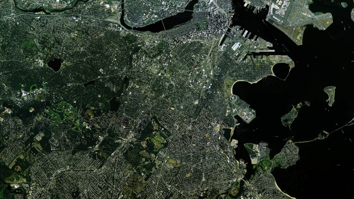
This site presents digital maps of suburbs of American cities. Each folder on this drive contains files of complete maps and data for every MSA in America in 2016 with population over 100,000. The list below describes each of the folders to guide you to the information you are looking for.
Maps – KMLs: KML files of the finalized maps are used to display geographical data on an Earth browser such as Google Earth. This allows you to interact with the map. It is possible to download and view one or many KML files. An explanation on how to use the KML files is located within the KML folder.
Maps – PDFs: Finalized maps of every American MSA in 2016 with population over 100,000. The PDF format has a fixed layout and is optimized for printing.
Maps – JPGs: Finalized digital images of every American MSA map. The JPG format is a compression method that minimizes the file size making them more suitable for sharing online.
The methodology for this study was peer-reviewed for the exact same study using Canada census data, and can be found at:
Gordon, D. L. A., & Janzen, M. (2013). Suburban Nation? Estimating the Size of Canada’s Suburban Population. Journal of Architectural and Planning Research, 30(3), 197–220.
References
Berger, Alan, with Joel Kotkin and Celina Balderas-Guzman (eds) (2017). Infinite Suburbia. New York: Princeton Architectural Press.
Gordon, D. L. A., Hindrichs, L. and Willms, C. (2018). Still Suburban? Growth in Canadian Suburbs, 2006-2016, Toronto ON: Council for Canadian Urbanism, Working Paper #2.
Gordon, D. L. A., & Janzen, M. (2013). Suburban Nation? Estimating the Size of Canada’s Suburban Population. Journal of Architectural and Planning Research, 30(3), 197–220.
Gordon, D. L. A., Maginn, P. J. and Biermann, S. (2015) Estimating the Size of Australia’s Suburban Population, PATREC Perspectives. October 2015.
Team
Alan M. Berger, David Gordon, Mario Giampieri, Samantha Anderson, Alexander J Boccon-Gibod, Sara Eng, Myles Fox, Jordan Greene, Tyler Hamilton, Rachel Harris, Makenna Humes, Ellen McGowan, Sarah MacKinnon. Hailey Morning, Nikasha G Patel, Hannah Riding, Megan Smythe, Griffin Tinevez, Miranda Virginillo, Patricia Warren