
Spatial Equity NYC
Team: Sarah Williams, Niko McGlashan, Daniela Coray, Jariyaporn Prachasartta, Doris Qingyi Duanmu, Kelly Fang, Ziyi Tang, Enrique Casillas, 'Chance' Jiajie Li
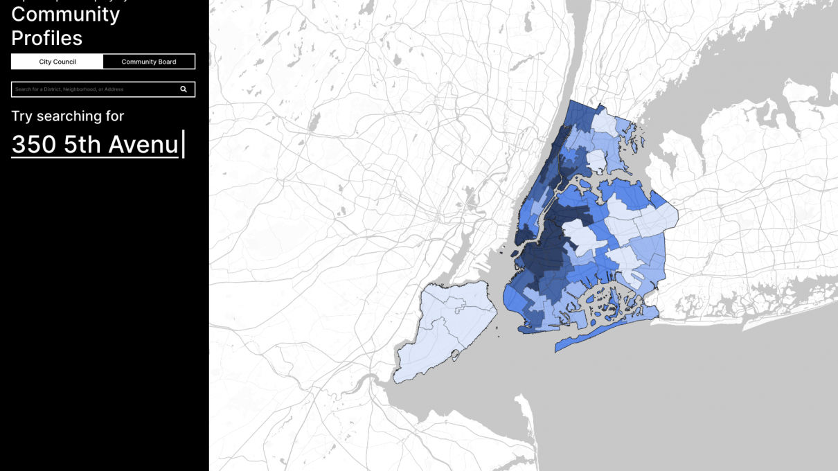
There are evident inequities in New York City in how public space is distributed, restricted, used, and made unusable, and how this results in clear disparities in public health, mobility and environmental justice for New Yorkers, across all New York neighborhoods. Spatial Equity NYC, a new tool developed by the Norman B. Leventhal Center for Advanced Urbanism in collaboration with New York nonprofit Transportation Alternatives, reveals these inequities through the visualization of open-access spatial data, providing policymakers and residents with critical access to knowledge in advocating for and implementing necessary change.
The Spatial Equity NYC tool visualizes this key data by mobility, environment and health categories, and indicates where spatial inequities are most prevalent. Users can compare their neighborhoods and see how community boards and council districts rank amongst each other. The tool also presents potential solutions related to spatial equity indicators, and invites users to interface directly with their elected officials in advocating for more equitable solutions. Spatial Equity NYC tells a story of public space, and how we can all work toward a more equitable city for all New Yorkers.
Learn more here: Spatial Equity NYC