Strategies for Urban Stormwater Wetlands


Managing stormwater is a key problem in securing urban resiliency and meeting water quality standards. According to the EPA, stormwater is the only growing source of water pollution, which already impairs 13% of the nation’s rivers. More intense storms in the future will exacerbate flooding, which cost the United States $2.4 billion in 2014. In arid cities, stormwater is now seen as an opportunity to alleviate water scarcity, expected in 40 states within the next 10 years.
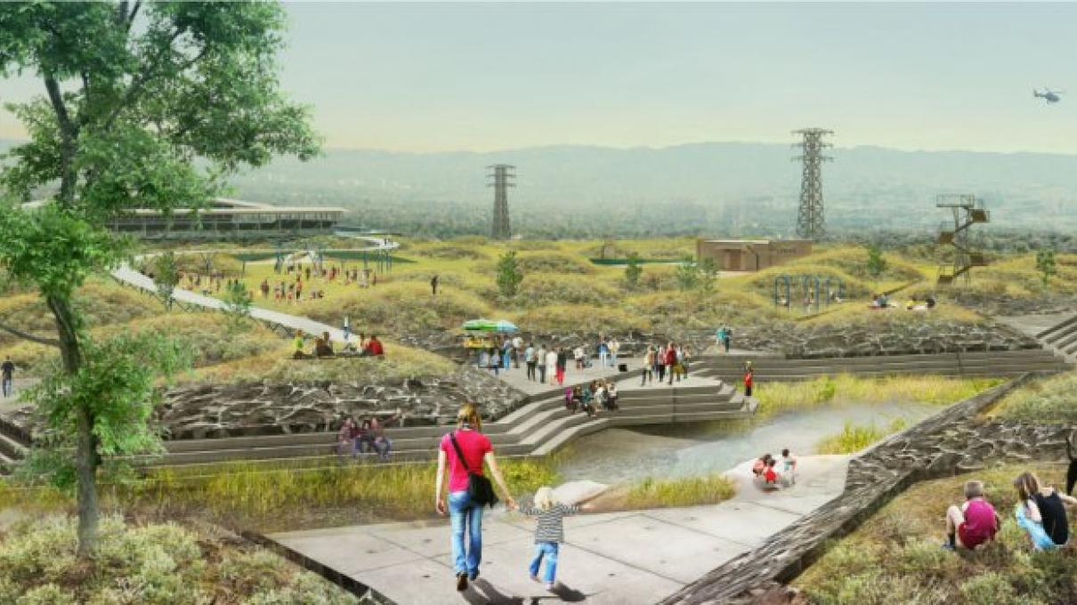
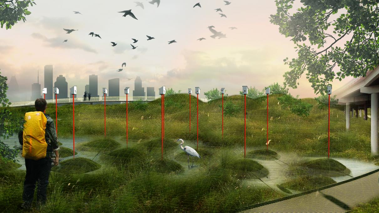
Although constructed wetlands and detention basins have been built for stormwater management for a long time, their design has been largely driven by hydrologic performance. Bringing together fluid dynamics, landscape architecture, and urban planning, this research project explored how these natural treatment systems can be designed as multi-functional urban infrastructure to manage flooding, improve water quality, enhance biodiversity, and create amenities in cities. We used Los Angeles and Houston as case studies.
Our methodology centered on digital modeling combined with fluid dynamics numerical simulations and physical testing that allowed us to assess the hydraulic performance of the new designs.
This work was funded by the MIT Abdul Latif Jameel Water and Food Systems Lab (J-WAFS).
Los Angeles: Taylor Yard
A former railway depot, Taylor Yard is a site adjacent to the Los Angeles River. The city is investing heavily in the revitalization of the Los Angeles River, and according to the Mayor, Taylor Yard is the “crown jewel” in the effort to transform the river. In fact, the city spent nearly $60 million dollars to purchase this site in early 2017. The city is currently planning long-term and interim projects for the public use of Taylor Yard, but implementation will likely be delayed due to the remediation of contaminated soils.
Located north of downtown at Cypress Park, Taylor Yard is unique in that it is a large site next to a major river in a metropolitan area. Its adjacency to the Los Angeles River (west of the site) is also unique because that part of the river does not have a concrete bed. The riparian species growing there could act as a seed source for the Taylor Yard site. On the east side, the site borders Rio de Los Angeles State Park and a complex of four high schools and one middle school.
Houston: Buffalo Bayou
Buffalo Bayou runs just north of downtown Houston and is one of the city’s most iconic bayous. Houston is known for its network of bayous, or slow-moving streams, which are the main natural drainage infrastructure in this otherwise flat landscape with clay soils. The Bayou Greenways project has dedicated millions of dollars in recent years to revitalize Houston bayous by reconstructing their banks to accommodate recreational trails, and where possible, widening and stabilizing them for flood protection. However, these revitalization efforts have not yet reached Buffalo Bayou to the east of downtown, where it crosses Highway 69. Here is a grouping of vacant lands that lie in the transition between downtown Houston and traditionally disadvantaged neighborhoods such as the Second and Fifth Wards. These neighborhoods typically suffer elevated flood risks and deprivation of natural open space. Thus, this site offers an opportunity to provide flood protection, connect neighborhoods, and offer recreational opportunities in a deprived part of the city.
Learn More
Guzman, Celina Balderas, Samantha Cohen, Manoel Xavier, Tyler Swingle, Waishan Qiu, and Heidi Nepf. "Island topographies to reduce short-circuiting in stormwater detention ponds and treatment wetlands." Ecological Engineering 117 (2018): 182-193. https://doi.org/10.1016/j.ecoleng.2018.02.020


